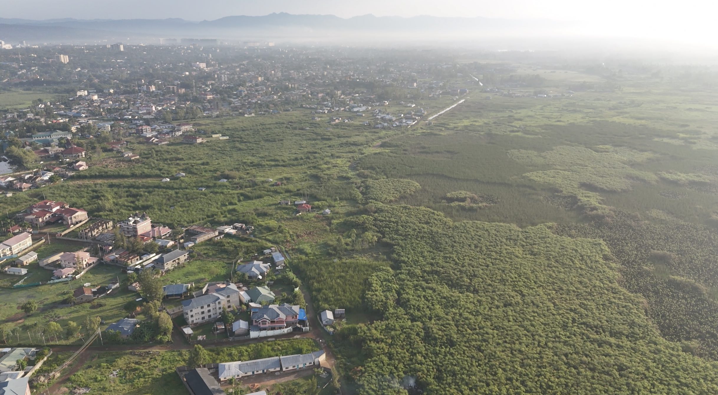
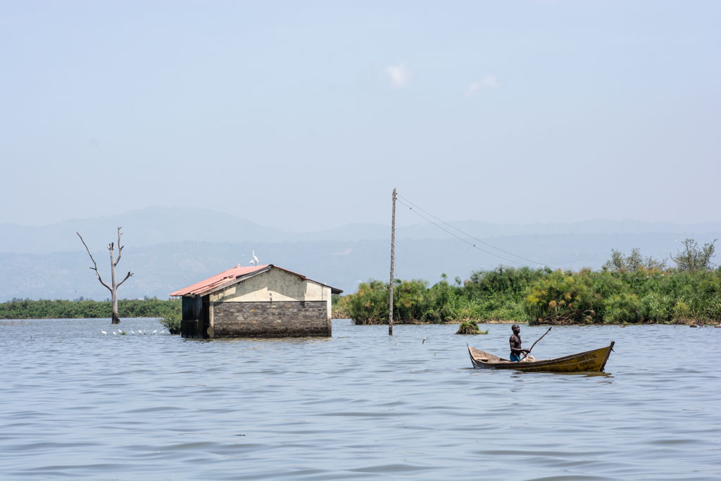
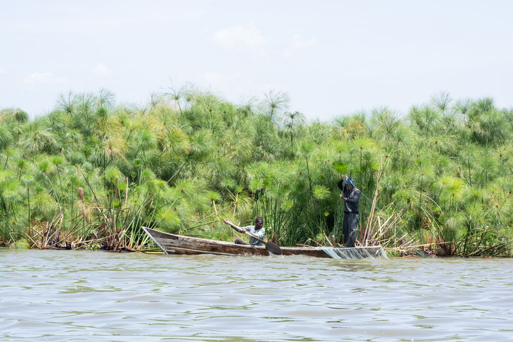
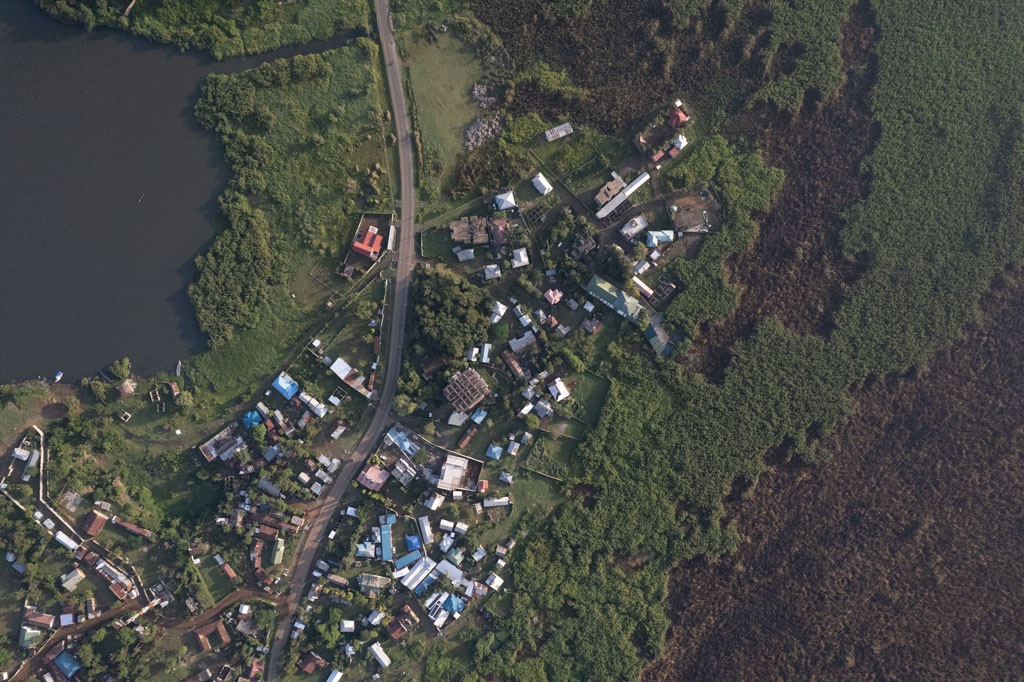
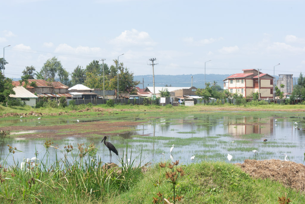
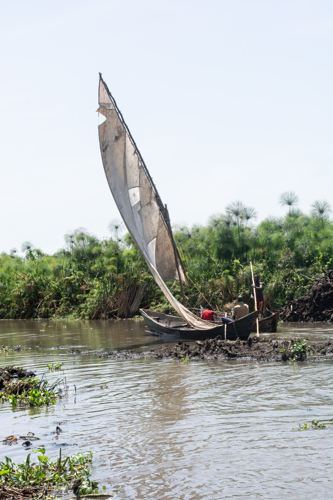
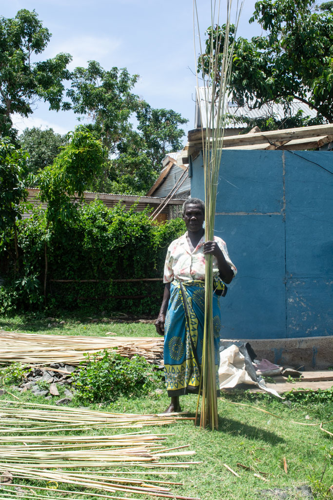
The wetlands around Kisumu (Kenya), situated on the shores of Lake Victoria, is one of the country’s key biodiversity areas, characterized by papyrus-rich marshland covering roughly 100 hectares. The wetlands function as ecological habitat for endemic species such as hippos and provide essential livelihoods through farming, fishing, and papyrus-based economies. Yet this fragile environment sits at a contested border: between land and water, between formal city planning and informal settlement, and between traditional subsistence practices and the pressures of urbanization and resource extraction. The wetland boundary is not fixed; it shifts with rising lake levels, seasonal floods, and urban expansion, reshaping how people live, work, and imagine their futures.
This project approaches the wetland as a living example of contested ground where ecological processes and social struggles intersect. The focus lies on the wetland edge: a moving line where environmental change, development pressure and everyday practices collide. The research asks how such edges can be understood not only as sites of risk and conflict, but also as spaces of negotiation, care, and possibility. The project responds to increasing ecological decline and development ambitions around Lake Victoria. By making visible how power, ecology, and daily life intersect, it aims to lay the groundwork for a second phase focused on site-responsive design strategies.
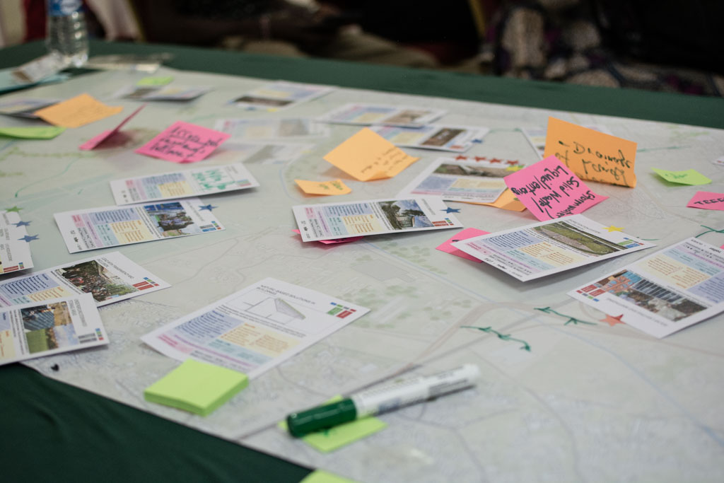
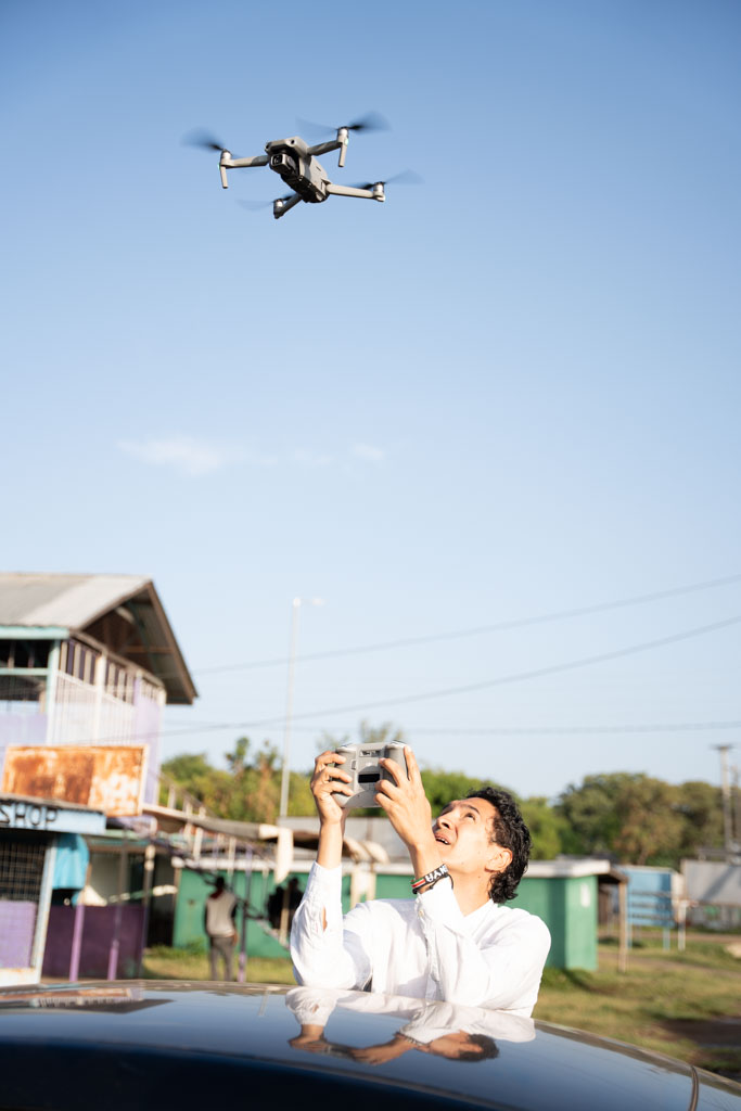
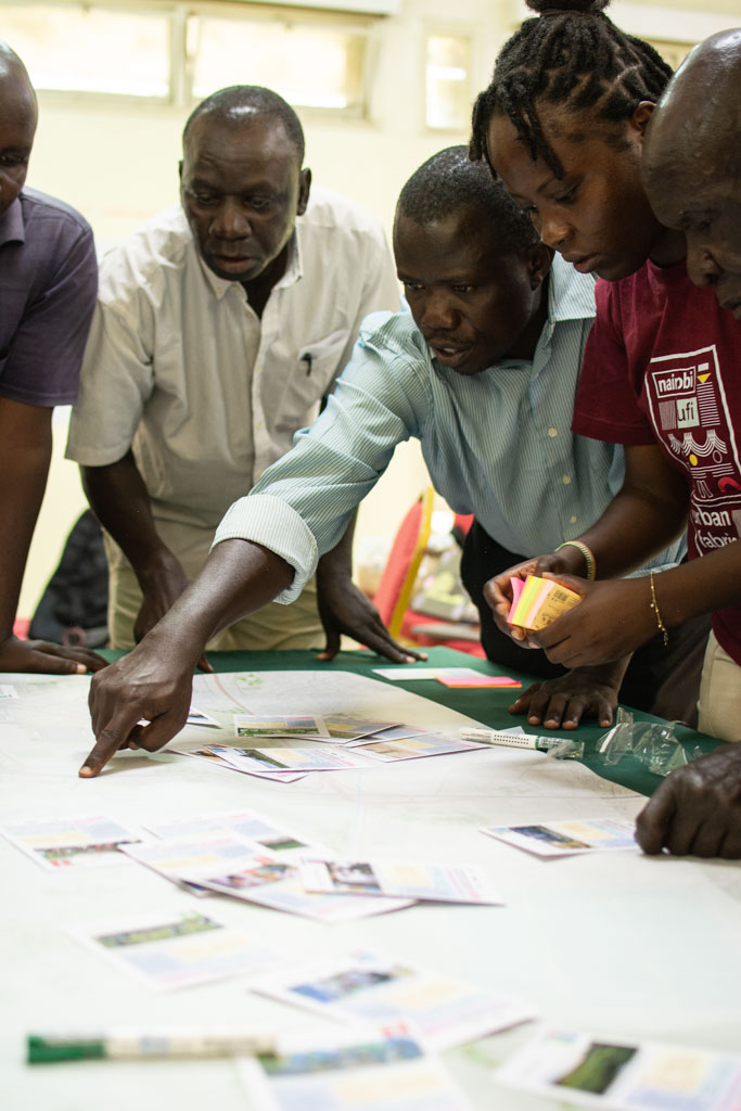
During fieldwork (February 2026), the team conducted transect walks along the wetland edge to trace where water meets settlement. Co-creation sessions were organized with local community representatives, facilitating collective mapping and discussion. Three participants documented their daily routines using disposable cameras, offering an internal perspective on life around the wetland, while drone footage captured the broader spatial condition from above. These combined methods form the foundation of the Wetland Atlas: a layered document that records use, pressure, memory, and care. The project positions design not as an external intervention, but as a practice operating within an already negotiated landscape.